Back to model library

JBA Risk Management

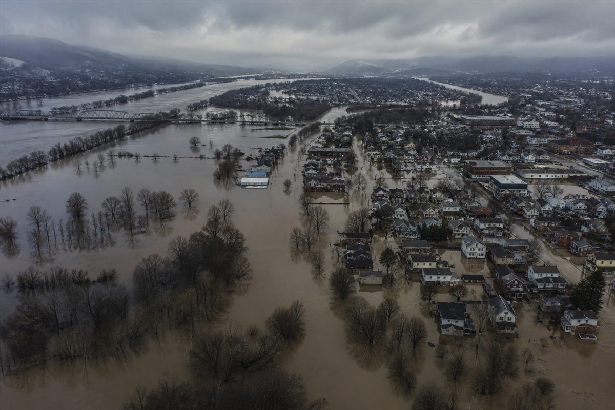
Known as The Flood People®, JBA provide global flood maps, catastrophe models and analytics that are used by some of the world’s largest re/insurers, financial institutions, NGOs and government organisations. The JBA team are experts in translating complex, scientific data into useful information, using sophisticated hydraulic approaches and models to provide cutting-edge flood risk intelligence.

River and surface water for every country in the world except Greenland and Antarctica
Read and Available
Global Flood Model

Territories:

Worldwide except Greenland and Antarctica
Learn More
River Surface and Coastal Flood
Read and Available

UK Flood Model

Territories:

GB and Northern Ireland
Learn More
River Surface water
Read and Available

Republic of Ireland Flood Model

Territories:

Republic of Ireland
Learn More
River Surface Flood
Read and Available

Australia Inland Flood

Territories:

Australia
Learn More
River Surface Flood
Read and Available

US Inland Model

Territories:

Contiguous US
Learn More